Langden from the Trough of Bowland
Posted by Sam Harrison on December 31, 2013 at 00:22.
The closest hills to Lancaster are the Bowland fells, and whilst we go there plenty enough for runs and bimbles, we don't often make a full day out of it. My Mum and Dad were coming up to Lancaster for the day on Wednesday 11 December, and so I thought it would be a good opportunity to explore a valley I'd been looking at on the map for quite some time. Namely Langden, rising from the Trough of Bowland just-north of Dunsop Bridge.
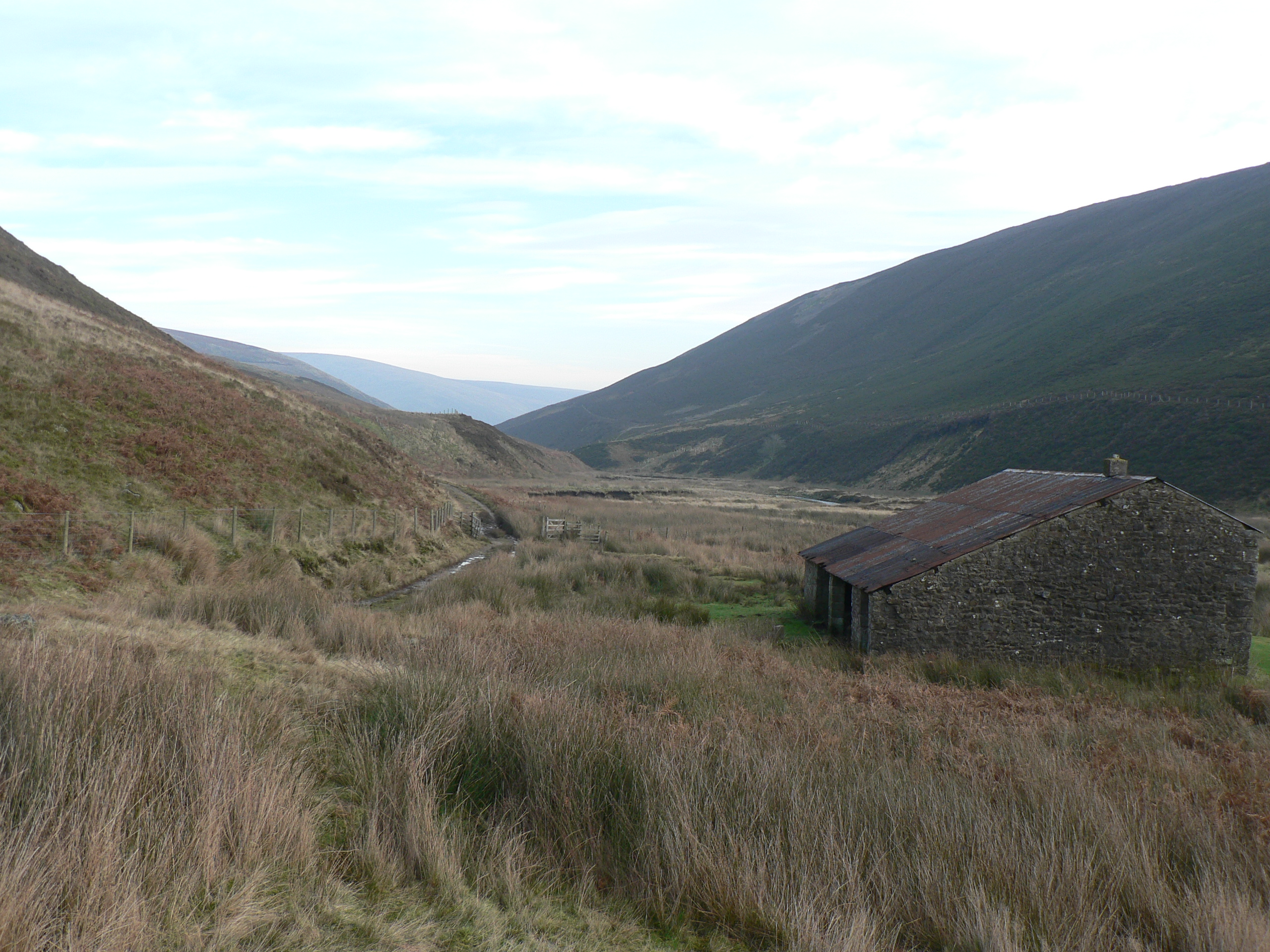
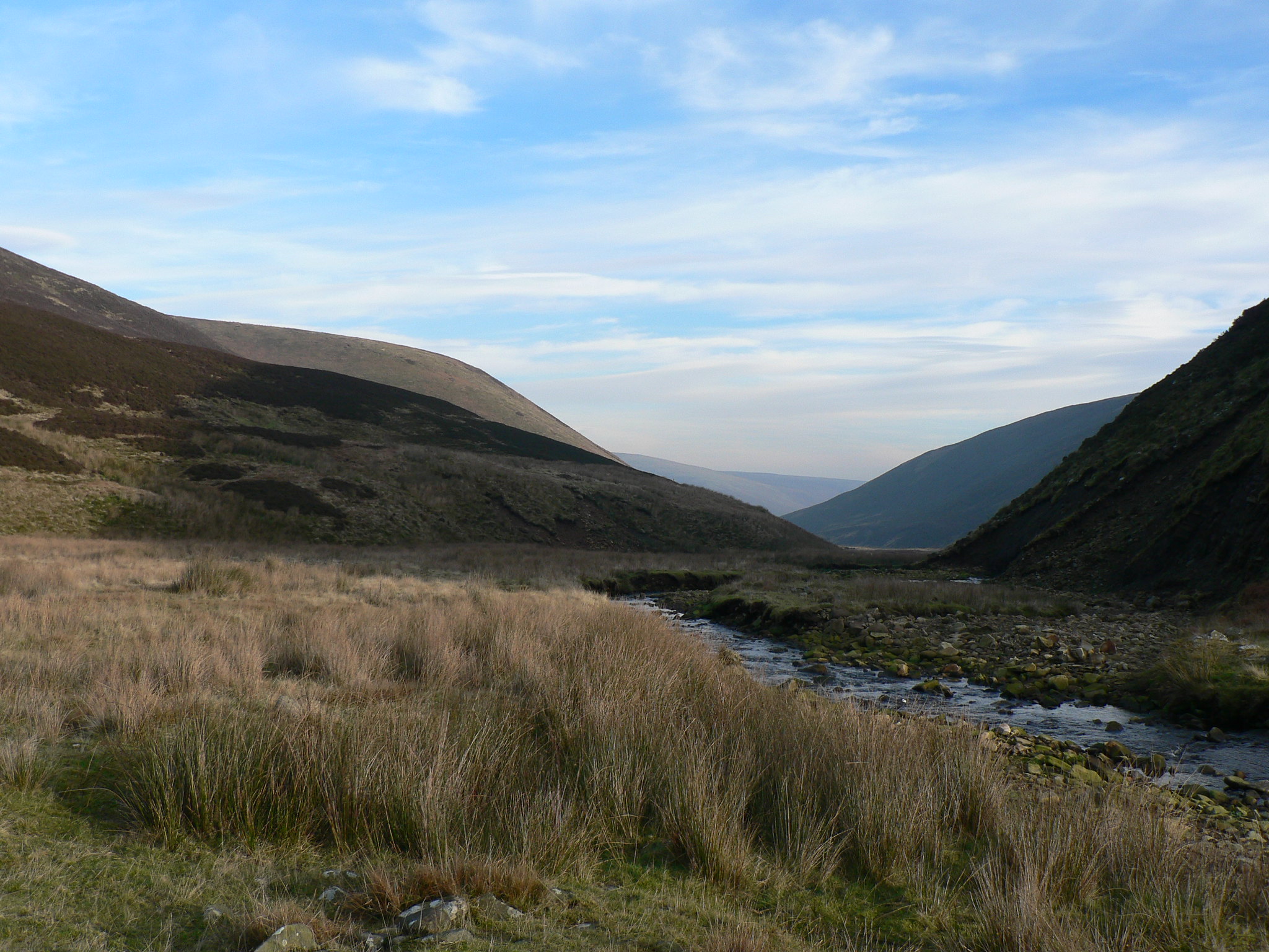
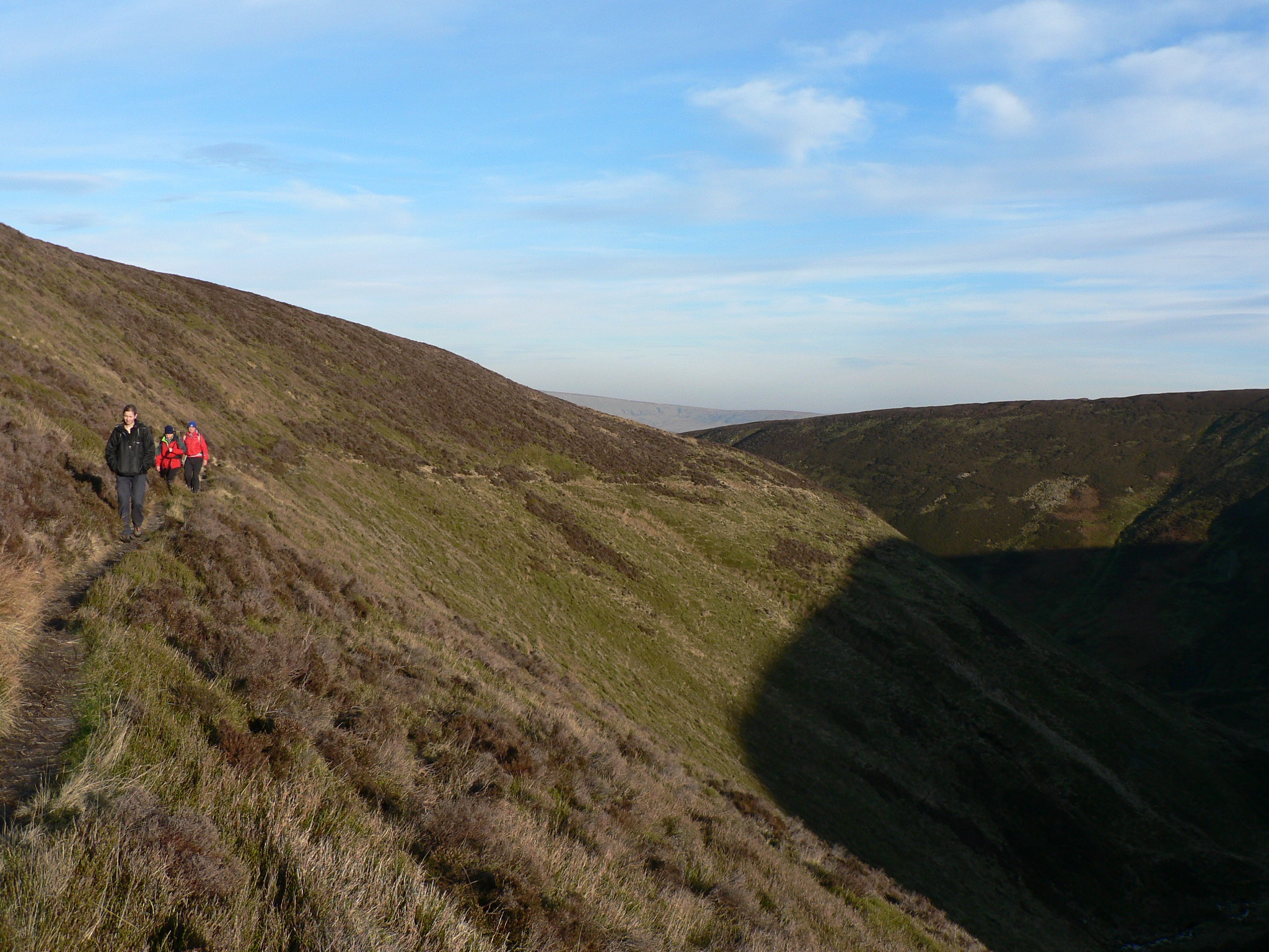
The day was one of those cold, crisp and clear winter days, and despite the sunshine a biting wind reminded us it definitely wasn't summer. A good track leads up alongside Langden Brook for a few miles, before reaching the site of "Langden Castle (ruin)" (as marked on the map). The castle turned out not to be a castle at all, but a small stone building that definitely wasn't in ruins. After a spot of lunch, we worked our way south-westwards on a good path that traversed its way up Fiensdale before throwing us out onto the expansive moorland at the top of Fiensdale Head.
Fortunately, a fence was in place to guide us across the moor, and a vague path existed either side of it. A few flag stones were laid here-and-there, but for the most part we had to negotiate peat hags and vast bogs, which I have admit that I quite enjoy doing - I think for the same reason that I enjoy stupidly steep slopes, that "it's a challenge". The views aren't amazing from up on the Bowland summits - they are too plateau-like for that - but you do get a real feeling of wilderness, despite being relatively close to civilisation. We descended via Bleadale and got back just about in the light.
The day was one of those cold, crisp and clear winter days, and despite the sunshine a biting wind reminded us it definitely wasn't summer. A good track leads up alongside Langden Brook for a few miles, before reaching the site of "Langden Castle (ruin)" (as marked on the map). The castle turned out not to be a castle at all, but a small stone building that definitely wasn't in ruins. After a spot of lunch, we worked our way south-westwards on a good path that traversed its way up Fiensdale before throwing us out onto the expansive moorland at the top of Fiensdale Head.
"Langden Castle (ruin)" marks the spot of this building on OS maps
Looking down Langden Beck
Walking up Fiensdale onto Fiensdale Head
Fortunately, a fence was in place to guide us across the moor, and a vague path existed either side of it. A few flag stones were laid here-and-there, but for the most part we had to negotiate peat hags and vast bogs, which I have admit that I quite enjoy doing - I think for the same reason that I enjoy stupidly steep slopes, that "it's a challenge". The views aren't amazing from up on the Bowland summits - they are too plateau-like for that - but you do get a real feeling of wilderness, despite being relatively close to civilisation. We descended via Bleadale and got back just about in the light.